maps
-
Why I 🧡 the web. https://maps.vvolhejn.com/ This is a map that can show time instead of space. Distances in the map reflect travel times: points that are close but take a long time to travel between (by car) get pushed away from each other, and vice versa. #maps #travel #GoogleMaps
-
arnis ( louis-e/arnis )
Generate any location from the real world in Minecraft Java Edition with a high level of detail. Created by louis-e on Sep 10, 2022.
-
openfreemap ( hyperknot/openfreemap )
Free and open-source map hosting solution with custom styles for websites and apps, using OpenStreetMap data Created by hyperknot on Dec 13, 2023.
-
OpenFreeMap lets you display custom maps on your website and apps for free. #opensource The map data comes from #OpenStreetMap. https://openfreemap.org https://github.com/hyperknot/openfreemap #python #maps
-
Why I 🧡 the web: Someone made a customizable "shadow map": Every mountain, building and tree shadow mapped for any date and time. https://shademap.app #maps #shadow
-
placemark ( placemark/placemark )
A flexible web-based editor, converter, visualization tool, for geospatial data Created by placemark on Dec 06, 2023.
-
Why I 🧡 the web. A worldwide Open Infrastructure Map:https://openinframap.org/ A worldwide waterway map:https://waterwaymap.org/ #OpenStreetMap #maps
-

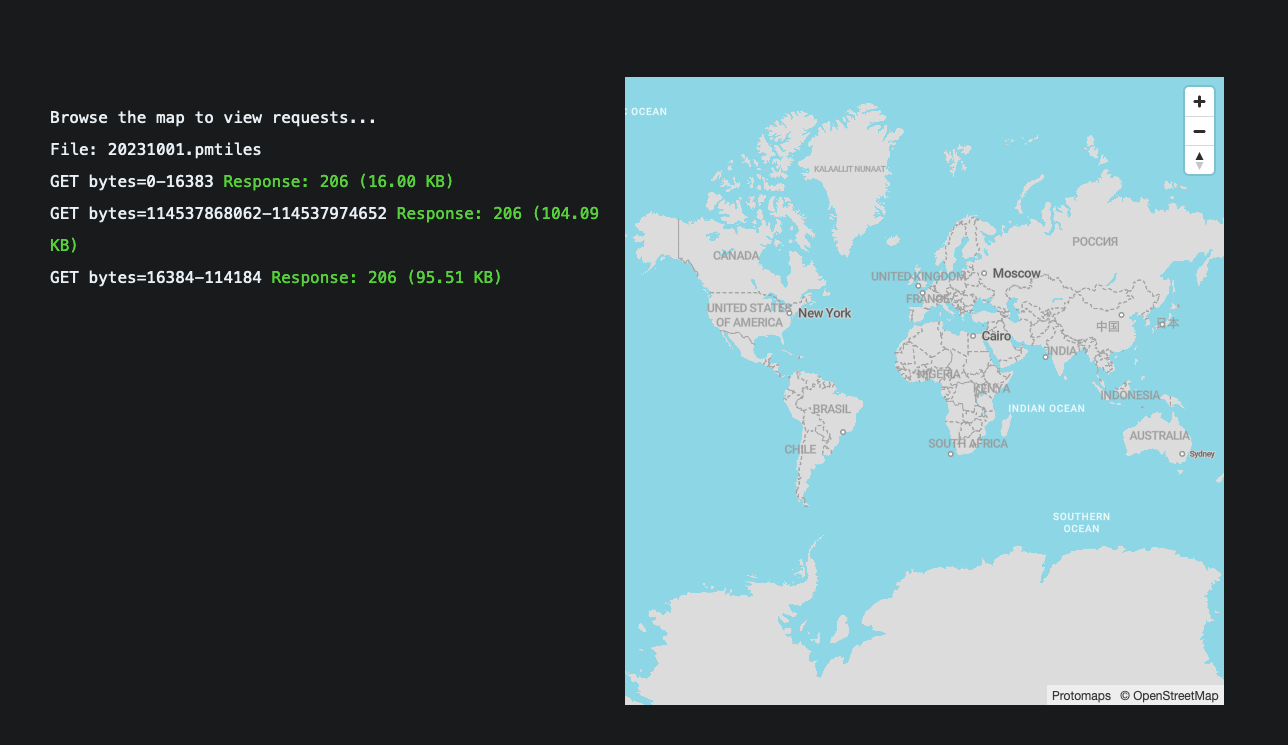
Protomaps is an #opensource map of the world, deployable as a single static file on cloud storage. #maps https://protomaps.com https://github.com/protomaps
-
markwhen ( mark-when/markwhen )
Make a cascading timeline from markdown-like text. Supports simple American/European date styles, ISO8601, images, links, locations, and more. Created by mark-when on May 20, 2021.
-
mapus ( alyssaxuu/mapus )
A map tool with real-time collaboration 🗺️ Created by alyssaxuu on Aug 02, 2021.
-
maplibre-gl-js ( maplibre/maplibre-gl-js )
The open-source fork of Mapbox GL JS: Interactive maps in the browser, powered by vector tiles and WebGL. Created by maplibre on Dec 08, 2020.